Morphology of the Val Veny

The Val Veny is a straight glacial valley, parallel to the Mont Blanc chain. It stretches for about 13 km in a southwest direction from Entrèves to the Col de la Seigne (2512 m), where the border with France is located.
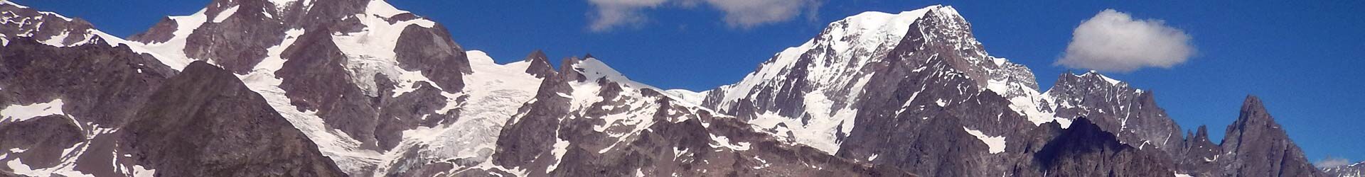
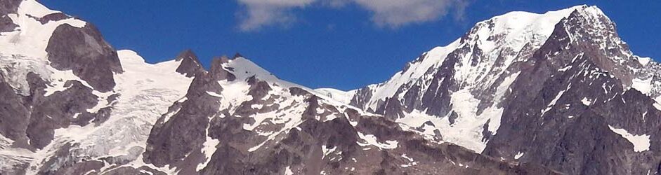
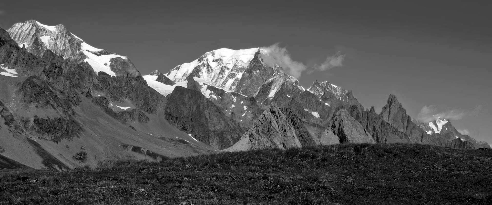
The orographic left flank is dominated by the south-western sector of the long chain of Mont Blanc, which overlooks the valley with rocky ridges, terraces, glacial valleys and moraines. Among the most important peaks: the Mont Blanc itself, the Aiguille Noire du Peutérey, the Brouillard ridge, the Aiguille du Trélatéte and the Aiguille des Glaciers. Deep glacial valleys furrow the massif, enclosing gigantic glaciers that descend to the valley: the Brenva Glacier and the Miage Glacier.
The right side of the valley is also steep, but wooded and alpine at high altitudes. The peaks are not particularly high (barely touching 3000 m) and separate the Val Veny from the side valleys of La Thuile area.
At the bottom of the valley flows the Dora di Veny, an impetuous stream fed by the melting waters of the glaciers, which at the exit of the valley merges with the Dora di Ferret to form the Dora Baltea.
Val Veny from the bottom to the top

Proceeding upstream, from the mouth of the valley towards the Col du Grand Ferret, four sections can be distinguished.
- The first section, at the end in the Entreves plain, is dominated by the terminal tongue and the lateral moraines of the Brenva glacier. The road climbs up with a few bends on the left of Entrèves and touches the sanctuary of Notre-Dame de la Guérison, the white church that in many postcard images can be seen standing out on the picturesque shape of Mont Blanc.
- A second flat section follows, its name is Plan Veny, characterized by groves, meadows and clearings where spaces have been created for picnics, campsites and for cars to park. A bridge leads to the orographic left of the valley to the village of Purtud/Peutérey, located under the suggestive pyramid of the Aiguille Noire du Peutérey.
Back on the road Val Veny on the orographic right of the valley. After crossing a few clearings and climbing a few hairpin bends you will reach the settlement of Visaille, a small group of houses located opposite the enormous mass of Mont Blanc whose famous pillars and the Freney and Brouillard glaciers stand majestically over the valley. Immediately afterwards, the valley is interrupted by the Miage glacier, which flows down a deep side-valley to the South of Mont Blanc, creating a sort of barrier with its large moraines. 
Lake Combal in the middle of Val Veny The third sector begins with a gorge, with the asphalted road runs between the moraine and the stream (Dora di Veny) which runs at the foot of Mt Fortin. A little further on, the valley leaves behind the side of the moraine (impressive) and opens into a vast grassy plateau, where the stream flows calmly and wide forming the Lake Combal. At the beginning of the plain, a system of paths allows you to climb up to the edge of the moraine, from where you can easily reach one of the wonders of the area: Lake Miage. It is a small glacial lake enclosed in part by the moraine and in part by the mass of the looming glacier.
The valley continues on a plain for almost one kilometer ending at the confluence with the glacial valley that descends from the Aiguille des Glaciers. Here the valley floor rises by elevation until it is closed on its right by the Pyramides Calcaires, a group of limestone, bare and rocky towers. Almost at the base of the pyramids you can see (and reach by foot) the Elisabetta Soldini Refuge (2195 m MSL).- The last stretch of the valley is the Great Valley de la Lex Blanche: a succession of slopes and valleys (partly grassy and partly stony) flanking at their base the Pyramides Calcaires and, with a last leap, reach 2512 m MSL at the alpine pass of the Col de la Seigne. This pass represents the border point between Italy and France and is also one of the most important passes of the Mont Blanc Tour.
Attractions in Val Veny

Activities and sports in Val Veny

Connections and centers in Val Veny
